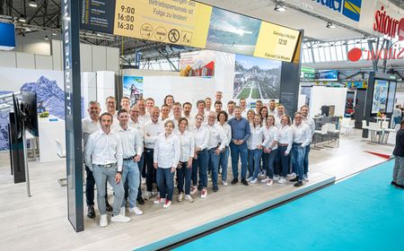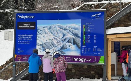
sitour: over 20 years of connecting information and communication
For over two decades, sitour Czech Republic has been integrating information, communication, and advertising in mountain and tourist regions. From traditional advertising to modern multimedia systems, we continuously develop new standards in communication. By combining advanced technology with user comfort, we ensure easy access to essential information for all nature and sports enthusiasts.